Satellite pictures show how certain parts of America are facing a ‘mega drought’ caused by dry conditions and over-provision of water.
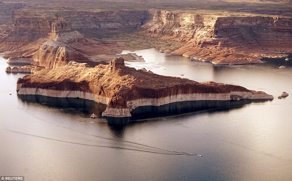
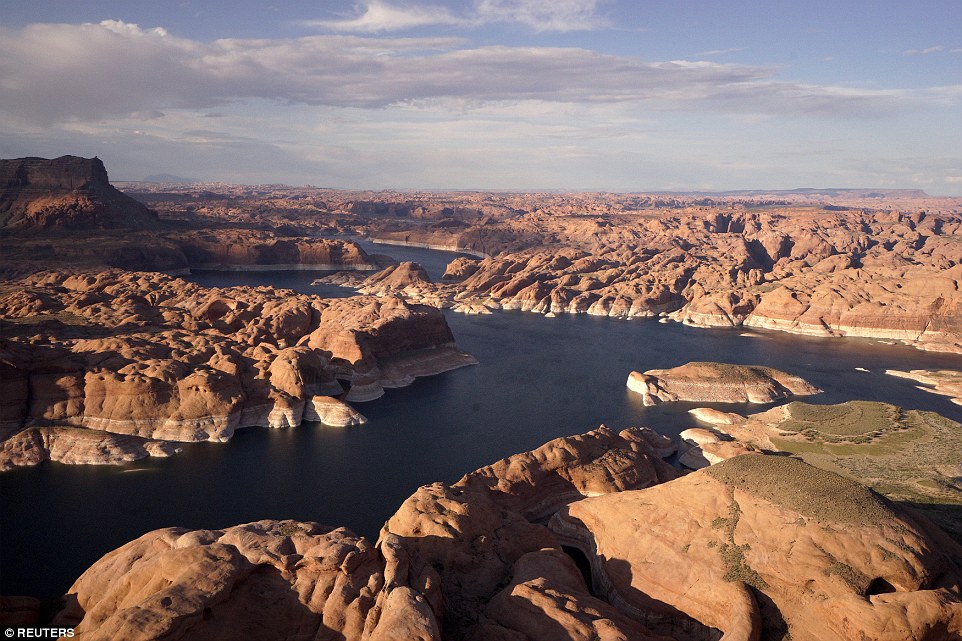
These NASA images of Lake Powell, Arizona, show how severe drought combined with withdrawals has reduced its levels.
The lake, on the Colorado River, provides water for Nevada, Arizona and California but is currently struggling to cope with the ever increasing demand.
Journalist Rick Wilking documented how the river looks today by hiking its shores and exploring the river by boar and flying over it.
‘Navigation on the water was difficult, with lake maps showing water where in many places now there is just dry land. All around the lake, strikingly pale bands of rock have been exposed by the receding waters,’ he said.