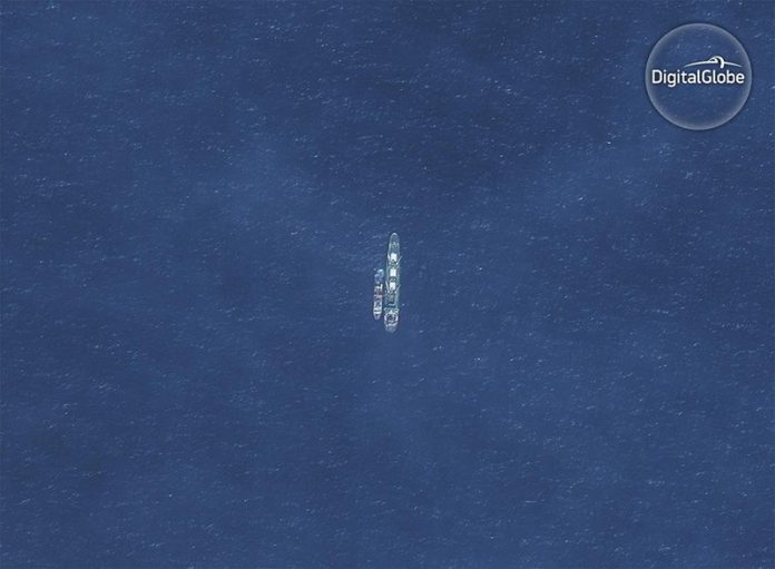
TOKYO – The government has started studying the use of satellites to monitor suspicious ships that could be illegally operating in waters near Japan, The Yomiuri Shimbun has learned.
Surveillance activities are currently conducted mainly by patrol ships and airplanes. Satellites are expected to make it possible to monitor wider areas, swiftly detect suspicious ships and quickly respond.
The Strategic Headquarters for Space Development, which is led by Prime Minister Shinzo Abe, began basic research for the study in February. It examined geographic conditions such as harbors, remote islands and straits, as well as possible changes in the accuracy of satellite observation due to climate factors.
The headquarters is also studying other issues, including the number of satellites needed for practical use. It will coordinate with the Headquarters for Ocean Policy to pinpoint tasks, including ways to consolidate information obtained by satellites, in advance of concrete discussions on practical use to be held in the next fiscal year or later.
To detect suspicious ships, the government will utilize an automatic identification system, which vessels in the 300-ton or larger class are obliged to install. AIS signals sent from ships, and also images of their trails photographed by satellites, will be cross-checked to isolate suspicious vessels from which no AIS signal was sent.
However, the Chinese fishing boats operating around Japan range from dozens of tons up to the 200-ton class. To distinguish Japanese fishing boats from suspicious vessels, the government is considering expanding the types of ships required to install AIS to include Japanese vessels below the 300-ton class.
A series of illegal operations by Chinese fishing boats has been reported in waters around the Senkaku Islands in Okinawa Prefecture and other areas. There are concerns that armed fishermen may attack Japan’s remote islands. Given the circumstances, the government stipulated a policy for using satellite information to ensure marine security and safety in the Basic Plan on Ocean Policy, which was approved by the Cabinet in 2013.
Currently, 369 Japan Coast Guard patrol ships, 74 JCG airplanes and others are engaged in surveillance activities in Japan’s territorial waters (12 nautical miles, or about 22 kilometers, from its baseline) and its exclusive economic zone (200 nautical miles, or about 370 kilometers, from the same line). However, it is difficult to cover these entire areas.
A JCG official said, “We would deal with any situation swiftly if we could monitor areas around the clock from space.”
Western countries are leading the way in satellite systems for monitoring suspicious ships. Canada dispatches airplanes to sites to determine if a vessel is suspicious based on data gathered by satellites.
(c) 2017, The Japan News/Yomiuri · No Author

